Bethlehem Connect · Place sheet · Evaluated destination NX
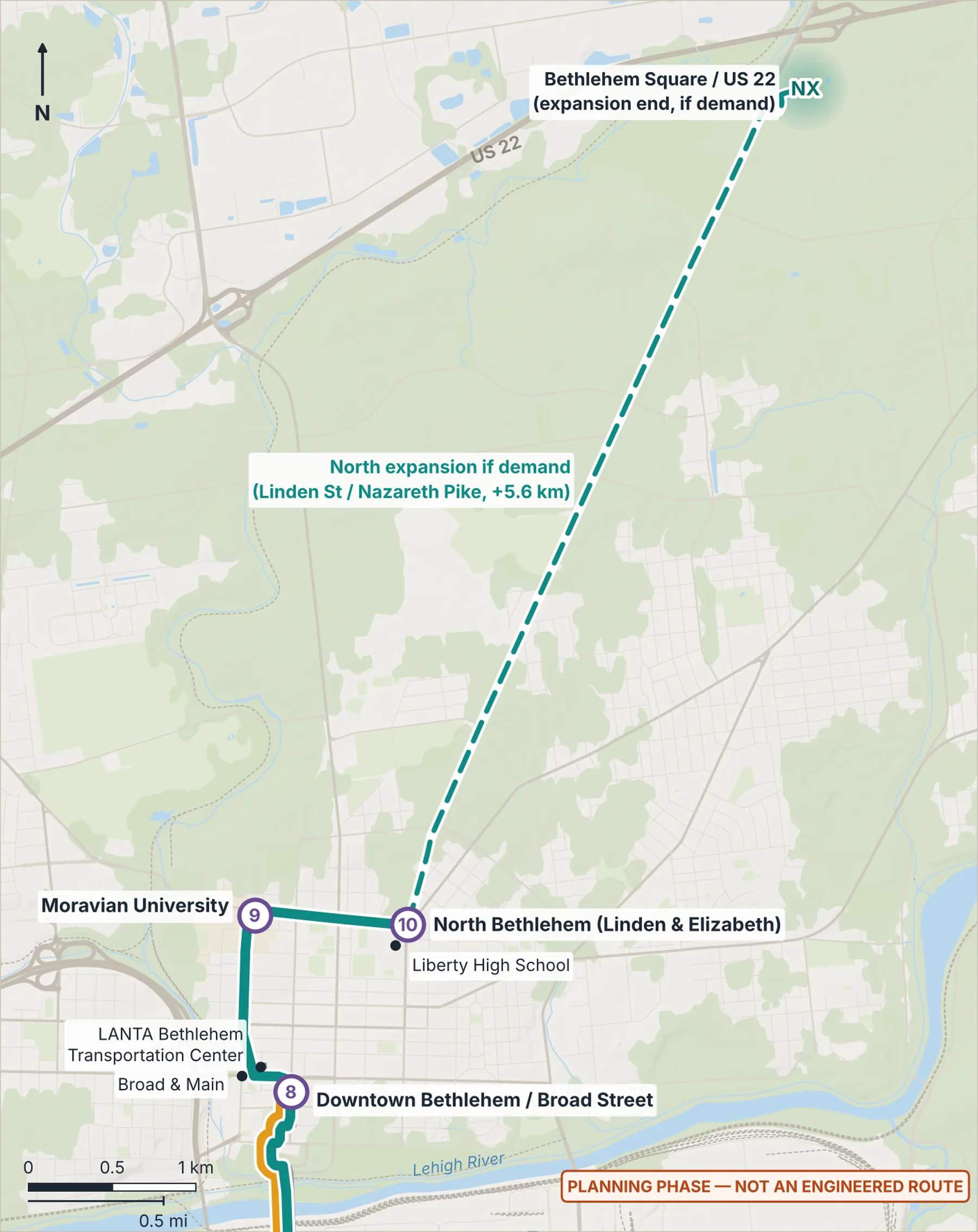
North expansion — Bethlehem Square / US 22
Later, only if demand: extension along the Linden St corridor (+5.62 km)
- NXBethlehem Square / US 22
Connect Spine (Phase 1)River Line (Phase 1)St. Luke's branch (Phase 1)Dashed: Phase 2 and later linksGondola (later idea)LANTA EBS todayShaded area: a station area or destination on Lehigh, hospital, casino or retail land, or owner unknown; not a site
Why here
Retail destination with possible park-and-ride near US 22, reached by extending the Spine north later, only if ridership and funding justify it.
Ideas if pursued (to study)
- Park-and-ride and transfer, later, only if demand
What exists today
- No transit facility at this location is described in the plan.
 (opens the full-size image)
Measured here
- Lines
- North expansion to Bethlehem Square (later) · Bethlehem Township park extension, after the North expansion (later)
- Elevation
- 112 m (USGS 3DEP)
- Future train access
- From Bethlehem Square / US 22, about 20 minutes on Bethlehem Connect to the rail-ready stop at Farrington Square.
Still unknown
- Linden St redesign coordination
- Bethlehem Township coordination