Bethlehem Connect · Place sheet · Station area 2 · South
Hellertown / Saucon Valley (Main St)
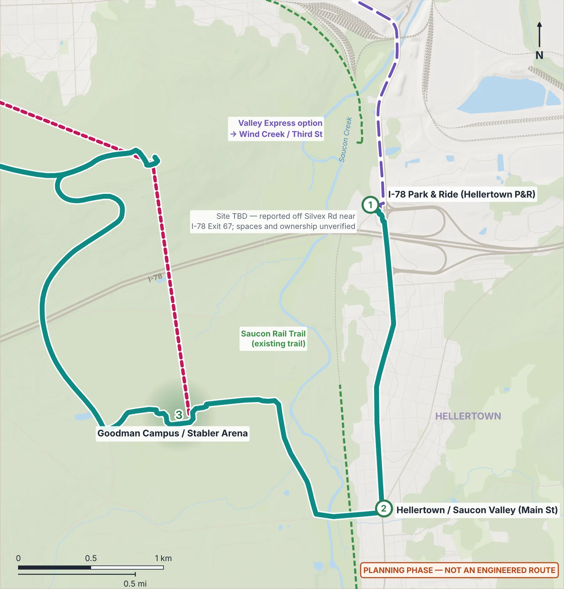
Walk-up town-center stop · Saucon Rail Trail link
- 2Hellertown / Saucon Valley
Connect Spine (Phase 1)River Line (Phase 1)Dashed: options and if-demand linksGondola optionLANTA EBS today
Why here
Serves Hellertown and Saucon Valley residents, not just Lehigh — a walk-up stop on Main Street (Rt 412) near the Saucon Rail Trail.
Program ideas (planning phase)
- Shelter with real-time information
- Bike parking
- Saucon Rail Trail wayfinding
Every station also gets the station kit: level boarding, shelter, lighting, real-time screens, bike racks, a rain garden and a sorting point for recycling, compost and trash.
What exists today
- About 34 LANTA weekday trips within 400 m (2022 timetable data; service has changed since).
 (opens the full-size image)
Measured here
- Lines
- Connect Spine — electric BRT
- Elevation
- 87 m (USGS 3DEP)
- 10-minute walk
- 144 ha · 1,750 buildings · 227 places
- LANTA today
- About 34 weekday trips within 400 m (2022 timetable)
- Future train access
- From Hellertown / Saucon Valley, about 5 minutes on Bethlehem Connect to the rail-ready stop at I-78 Park & Ride.
Still unknown
- Main Street parking and loading, to coordinate with the Borough